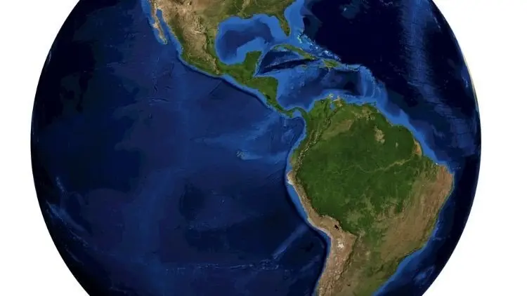
Remote Sensing for Land Cover Mapping in Google Earth Engine
Learn machine learning, big data and land use land cover classification using Google Earth Engine cloud API

Remote Sensing for Land Cover Mapping in Google Earth Engine udemy course
Learn machine learning, big data and land use land cover classification using Google Earth Engine cloud API
What you'll learn:
- Learn to apply land use land cover classification using satellite data
- Land use land cover change detection analysis
- Perform accuracy assessment of land use classifications
- Download, and process satellite images
- Learn digital image processing
- Digitize reference training data
- Understand satellite image bands and spectral indices
- Predict new land use land cover products
- Access global land use land cover products
Requirements:
- This course has no requirements.
Description:
Do you want to implement land cover classification algorithm on the cloud?
Do you want to quickly gain proficiency in digital image processing and classification?
Do you want to become a spatial data scientist?
Enroll in this Remote Sensing for Land Cover Mapping in Google Earth Engine course and master land use land cover classification on the cloud.
In this course we will cover the following topics:
Unsupervised Classification (Clustering)
Training Reference data
Supervised Classification with Landsat
Supervised Classification with Sentinel
Supervised Classification with MODIS
Change Detection Analysis (Water and Forest Change Analysis)
Global Land Cover Products (NLCD, Globe Cover and MODIS Land Cover)
I will provide you with hands-on training with example data, sample scripts, and real-world applications.
By taking this course, you will take your spatial data science skills to the next level by gaining proficiency in processing satellite data, applying classification algorithm and assessing classification accuracy using confusion matrix. We will apply classification using various satellites including Landsat, MODIS and Sentinel. When you are done with this course, you will master methods on how to apply machine learning and supervised classification algorithm using cloud computing and big geospatial data.
Jump in right now to enroll. To get started click the enroll button.
Who this course is for:
- Anyone interested in land use land cover classification
- Anyone who wants to quickly gain proficiency in digital image processing and classification
- Anyone who needs experience with implementing land cover classification on the cloud
- Anyone wants to become a spatial data scientist
- The Absolute Beginners Guide to Cyber Security 2022 - Part 2
- Apache Kafka Series - Kafka Security | SSL SASL Kerberos ACL
- Learn AWS The Hard Way
- Complete, practical SDN and OpenFlow Fundamentals: over 8hrs Udemy
Course Details:
-
2.5 hours on-demand video
-
5 articles
-
5 downloadable resources
-
Full lifetime access
-
Access on mobile and TV
-
Certificate of completion
Remote Sensing for Land Cover Mapping in Google Earth Engine udemy free download
Learn machine learning, big data and land use land cover classification using Google Earth Engine cloud API
Demo Link: https://www.udemy.com/course/land-use-land-cover-classification/
